
Infrastructure Monitoring with Satellite Imagery
Current monitoring of the condition of large infrastructures is carried out using aerial and ground-based methods that involve high complexity and significant costs. The detection of incidents determines the start or execution of the corrective procedure, which is why the correct identification and documentation of anomalies plays a fundamental role in the monitoring, maintenance, and operation of the different sections of the network.
In this section
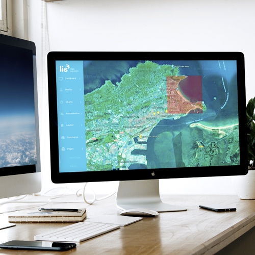
Monitoring and surveillance based on the integration of multiple available data sources obtained from satellite imagery, analyzed and processed using Deep Learning, to improve management, reduce costs, and increase the efficiency of verification inspections.
Objectives
- Improve and optimize surveillance management.
- Smart monitoring of large infrastructures
- Incident management and interaction with the image analysis backend
- Strategic report on the evolution of the Surveillance System
Current monitoring of the condition of large infrastructures is carried out using aerial and ground-based methods that involve high complexity and significant costs. The detection of incidents determines the start or execution of the corrective procedure, which is why the correct identification and documentation of anomalies plays a fundamental role in the monitoring, maintenance, and operation of the different sections of the network.
What we do
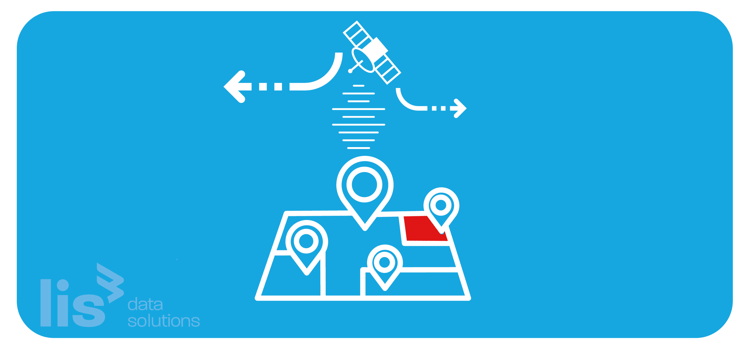
We use satellite imagery that we analyze through computer vision processes, and we analyze the results through advanced analytics alongside data or measurements from different sources to obtain stable baselines and, through periodic monitoring, identify deviations and incidents across large infrastructures.
How we do it
Selection of areas and information sources.
We outline the area or route to be monitored using cartography or GIS systems.
We study the internal and external data and variables that impact monitoring.
We select the most suitable satellite imagery providers and services.
Algorithms and monitoring.
We develop the image processing Backend using computer vision and Deep Learning algorithms to identify incidents, as well as locate and classify them by type and severity level.
We carry out smart monitoring of the infrastructure based on the processing of a Mix of Satellite Images.
User interface.
We build the incident management interface (Frontend) and connect it to the Backend to interact with the route’s imagery and display the results of the analyses performed, including historical data on BI dashboard tools, showing all platform activity in a control-tower view.