
Infrastructure maintenance with computer vision
The development of computer vision and the ongoing evolution of image-capture systems are multiplying the applications of these technologies, which can be extended to any area of activity. Satellite imagery; footage from fixed and mobile cameras, both ground-based and aerial; scans obtained by ultrasound or radiofrequency; and all those methodologies that achieve a visual representation of a fragment of reality are already used in highly diverse fields such as autonomous vehicle driving, fleet optimisation, medical diagnosis, the analysis of vast areas of land (fire prevention, crops, disasters, maritime monitoring…) or the maintenance of large infrastructures, among many other applications.
On this occasion, we will focus on analysing its usefulness in this latter area: the maintenance of large infrastructures and surfaces. You may never have stopped to think about how complex and costly it is to monitor and preserve certain facilities and spaces that extend over vast areas. To clarify the concepts, examples of titanic maintenance include roads, forestry operations, hydrocarbon transport networks, power lines or railway tracks.
Traditionally, in these and many other cases, inspections have been carried out on the ground (on foot or by vehicle) or, more exceptionally, by air (helicopters and, in recent times, drones) across huge networks such as high-voltage lines, through scheduled visual inspections of all or part of the installation. The investment, consequently, is high in time, resources and capital, for a system that does not prove fully effective, since success will depend on anomalous situations occurring in line with the planned inspection schedule, as well as on light and weather conditions.
The need to improve maintenance systems for large infrastructures, and the rapid evolution of technology, make it possible to carry out these tasks by analysing satellite images, those obtained by camera, or by combining both methods. But… how can anomalies be detected over kilometres using remote captures? Thanks to Artificial Intelligence.
Machine learning and neural networks
Today, we can enable machines to identify anomalous elements in images and raise the alarm. To achieve this, computers must be taught what content they should recognise as normal and what constitutes an intrusion or deviation. Moreover, the involvement of Machine Learning, the part of Artificial Intelligence that, as its name indicates, enables machines to learn, allows systems to automatically enrich their databases to become increasingly efficient and autonomous, and to provide a better service.
Within this framework, Deep Learning has proven particularly effective in image analysis, recognition and classification processes. Working with the concept of a grid, it generates artificial neural networks with behavioural dynamics similar to biological neural networks. To achieve this, the classification algorithms used scan small areas of the image rather than the image as a whole. In this way, a small group of pixels passes through the various layers of the network, organised so that the first layers identify simple shapes (lines, curves, colours…), recognising elements of greater complexity at each step (figures, faces…).
Once the analysis is complete—more accurate the more layers the network contains—a percentage result is obtained that represents the probability that an image belongs to a pre-established category that the system has been trained to recognise. To understand this better, let us return to the examples from the beginning. Suppose that an obstacle appears on a railway section of track, or vegetation falls onto a firebreak in a forested area. In these cases, neural networks are trained to analyse the images, based on progressive scans of groups of pixels, and identify irregularities—that is, elements that are where they should not be, altering the patterns that the system has validated as optimal.
Detect, identify and categorise
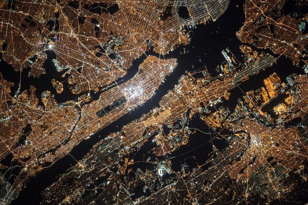
But let us be more specific. In a large-scale infrastructure, such as energy transport networks that even cross countries, the examination of satellite images or images obtained by cameras may reveal that a discordant pattern at a certain point along the route is, with a 92% probability, a break in a section of the line; with a 6% probability, a fire; and with a 2% probability, an element unrelated to the structure. Once the anomaly has been detected and the probable causes identified and categorised, the maintenance team can act more effectively; first, thanks to early detection, and second, because decisions and actions are carried out based on confirmed facts or, at least, on high percentages of correspondence with reality.
As a result, computer vision increases operational effectiveness and reduces costs, both in monitoring and in managing the identified anomalous events. Across large areas—some spanning hundreds of linear or square kilometres—this translates into thousands of euros. But it is not only about money: maintenance processes for vast infrastructures or spaces become safer for operators, who complement on-site visual inspections with automated image analysis, reducing uncertainty and enabling corrective actions to be developed with greater levels of planning.
In short, early warnings, simplified decision-making processes, complementary use of ground or aerial resources, greater operational safety, focusing resources on real needs, and extensive scanning in reduced timeframes make infrastructure maintenance with computer vision a reality/necessity that is already taking hold in an industrial sector that is increasingly inclined not to miss out on the benefits of digital transformation.